Hello, traveler!
Welcome to my portfolio, feel free to stay a while…
Here you will find out a little bit more about me and my GIS journey, as well as a collection of various projects I’ve managed.
About me! :)My name is Eryn Mantey and I was born and raised in Colorado! From a young age I’ve been fascinated with the environment which pushed me to pursuing a major in geography with a concentration in GIS and a minor in political science at the University of Colorado at Boulder. Although I received my degree in geography, I majored in environmental science for my first three years at CU, so the development of sustainable solutions is very near and dear to my heart. Along my academic journey I found GIS to be a very important and versatile tool in combating climate change that I could do my part in utilizing in order to aid mitigation and adaptation efforts. I have had the opportunity to accrue experience with a myriad of GIS softwares such as ArcGIS Pro, Google Earth Engine, QGIS, and Esri as well as coding with Python, and I am very excited to learn more!
My first three years as an environmental science student lent me the knowledge about our climate and projected changes it may face. I found transportation and urban sustainability to be my special interests. I have conducted much research and written for both academic and voluntary reasons about walkability, city planning, and public transportation. My fourth year, I dipped my toe in GIS technology and it captivated me so much that I changed my major to geography! Since then I have been fascinated by computers, data, and coding languages.
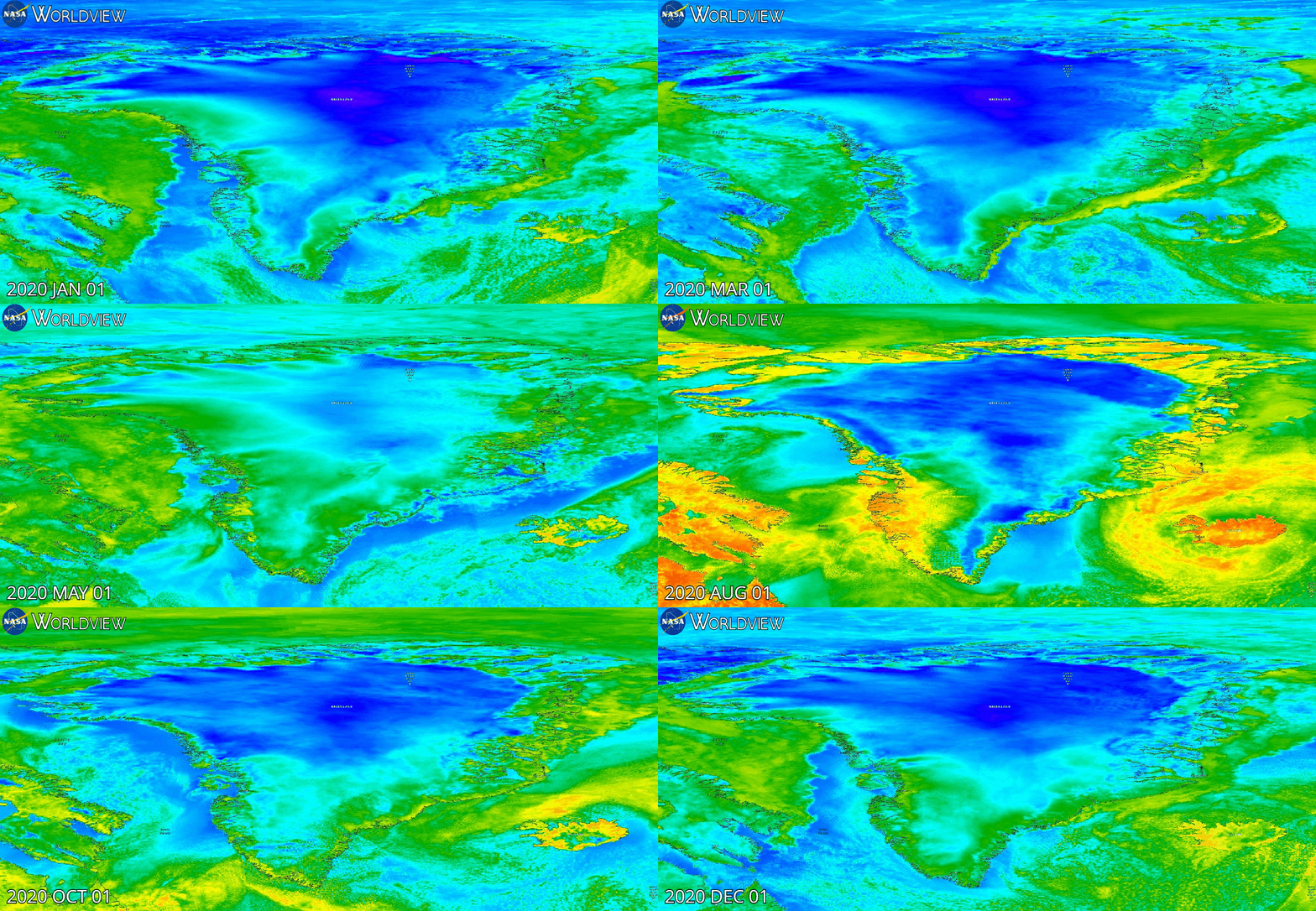
Gif made to illustrate precipitation trends in Greenland in 2020
Map created to highlight evacuation center in Gulfport
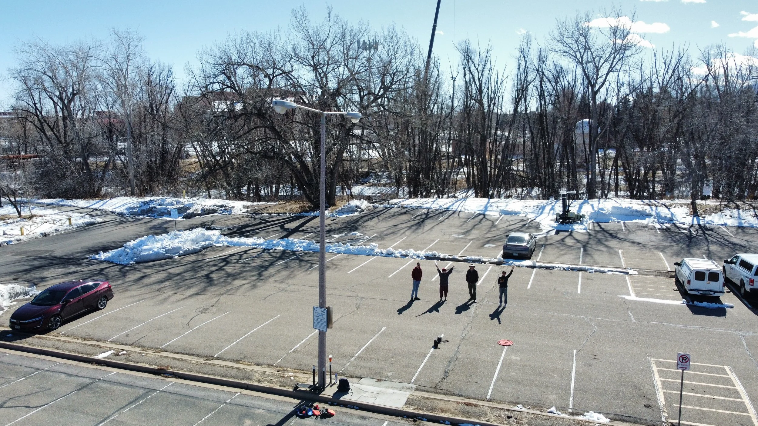
Picture of professor and fellow classmates taken via UAS


